
Punta Cana on the Map
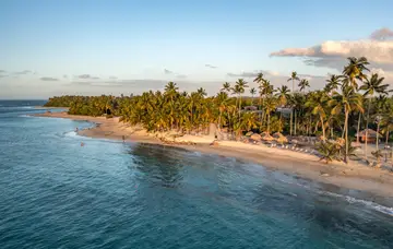
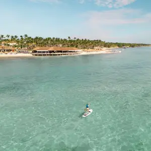
Punta Cana sits on the far eastern tip of the Dominican Republic, where the Caribbean Sea meets the Atlantic Ocean. This picturesque stretch of coastline is famous for its palm-fringed beaches and clear turquoise waters. The area includes the nearby resort communities of Bávaro and Cap Cana, all forming part of one of the country’s most popular holiday regions.
When you look at a map of the Dominican Republic, Punta Cana appears right at the point where the island curves eastward—marking the gateway to spectacular seaside beauty and relaxation.